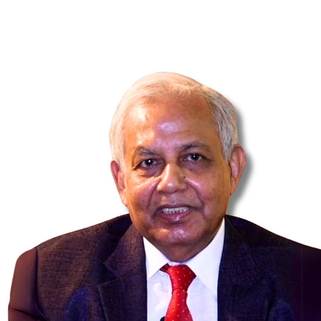
Dr. Snehasish Saha: IAGR Conference 2024
Dr. Snehasish Saha (M.A, Ph.D.) studied Geography at the undergraduate level and completed Post Graduate in Geography and Applied Geography from North Bengal University. His specialization was Agricultural Geography at the Undergraduate level and Fluvial Geomorphology at the Post Graduate level. He achieved 1st class 1st position in both UG and PG levels. He was conferred upon University medals for both UG and PG levels and Bidhuranjan Adhikary memorial medal for securing first class first position at PG level. He was recipient of UGC JRF award for twice. Presently, he is an Associate Professor at the Dept. of Geography & Applied Geography, University of North Bengal and working earlier as Assistant Professor since 2009 and supervising Ph.D. Research Scholars and M.Phil scholars. Three Scholars have awarded with Ph.D under his supervision and two scholars have been awarded with M.Phil under his supervision. He has been working in the field of River Geomorphological studies and Pedo-Geomorphological aspects and has published about 60 research papers in different National and International journals i.e. Springer, Elsevier, UGC-Care, etc. of his own and collaborative works with his Research Scholars. He has published one edited book volume in 2022 title “Riverine Environment and Its Dynamics: Challenges, Issues and Sustainable Managements”. He has completed two University assisted Research Projects and has completed one DSTBT, WB assisted research project too. Presently one major research project is running where he is capacited as Co-PI sponsored by the DSTBT, West Bengal. Another two P.D thesis under his supervision has been submitted by his scholars. He is supervising 04 research scholars at present. He has supervised one Junior Research Fellow under Research Project sponsored by DSTBT, West Bengal. He is the member and Life member of different academic societies like The Deccan Geographer, Hill Geographers (NEHU), Bangiyo Bhugol Mancha, Indian institutes of Geomorphologists etc. He has guided two UGC-SAP inducted students for small research works and two mini Research works of two participants during the Winter School. He has been one of the editorial members of 07 SAP (UGC) book volumes (edited) since 2010 to 2019 and also worked as one of the editorial members of the department’s editorial volume, ‘Geographical Thoughts’. He completed his doctoral thesis in Geomorphology taking the case of Bank Erosion of River Ganga. He has participated in various national, international and regional level conferences, seminars and workshops etc. and delivered more than 15 special Lectures at UG level colleges. His future target is to work in different fields of Geomorphology and Geoinformatics.
Title of Talk:
Channel Migration and the onus of Lithofacies for the forcing Land Use Land Cover dynamics in Diara region of Malda, West Bengal, India
Abstract
The present study has been aimed to study and document the river bank erosion causing hazard by the course shifting of the River Ganga over the Diara tract of Malda district in West Bengal receiving unique concern within the study area. To view the problem some temporal scenes were considered i.e. 1977, 1990, 2001, 2011 and 2019. Free sourced and downloadable LANDSAT satellite imageries of USGS with Google earth for contemporary ground truthing have performed blended with serious field investigations to grip the truth. The impact of loose unconsolidated and low bearing capacity of bank lithosphere found significantly responsible behind bank collapse made up of majority of bands of sand (80- 85%), silt (10-14%) and clay of very nominal appearance in Malda from Manichak at north to Farakka at south receiving a 72 Km length. To visualize land use land cover (LULC) variations and to estimate the impact of dynamic impetus of newer land uses after losing earlier occupations, supervised LULC classification has done to establish the truth over time. Conversion matrix with accuracy assessments ultimately culminating to Kappa co-efficient has been computed (80-90% accuracy) to validate the classification which yielded justified acceptance. 30 cross sections were drafted to study the pattern of channel shifting using the stacked temporal images after processing and contrasting results have attained by identifying active channel width of 1977 (retrospective time-frame) and 2019 (Prospective time-frame). Superimposing the temporal bank lines on the mosaics of the concerned block-wise mouza boundaries in the district Malda figured out mouza-level calamity understanding based on vulnerability sensitization was the novel thought to prosecute the work. This study has presupposed to focus the quantification of channel migration cum related environ-issues and associated LULC dynamics in Diara region of Malda is a serious concern for the sustainability of the local people since 1968. Finding out protective suggestions of the contemporary hazard for future reference was the central endeavour to mainly taking up such documentary and analytical work.
Keywords: Shifting. Erosion. Accretion. Diara. Land-use-Land-cover. Kappa co-efficient


